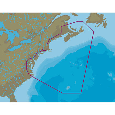
The brand - new C-MAP 4D microSD card offers a detailed chart from Nova Scotia to Chesapeake Bay. It comes with both vector and raster charts, satellite imagery, high - resolution bathymetric data, tides and currents info, and port details. You can view it in 2D or 3D, providing a comprehensive navigation experience.

Using this C-MAP 4D microSD card is easy. First, insert the card into your compatible device. Then, power on the device and open the mapping application. You can switch between 2D and 3D views according to your preference. When using it for navigation, always keep an eye on the tides and currents data. For maintenance, keep the card dry and avoid exposing it to extreme temperatures. Don't scratch the card surface. If you encounter any issues, check if the card is properly inserted or try cleaning the card contacts gently with a dry cloth.


